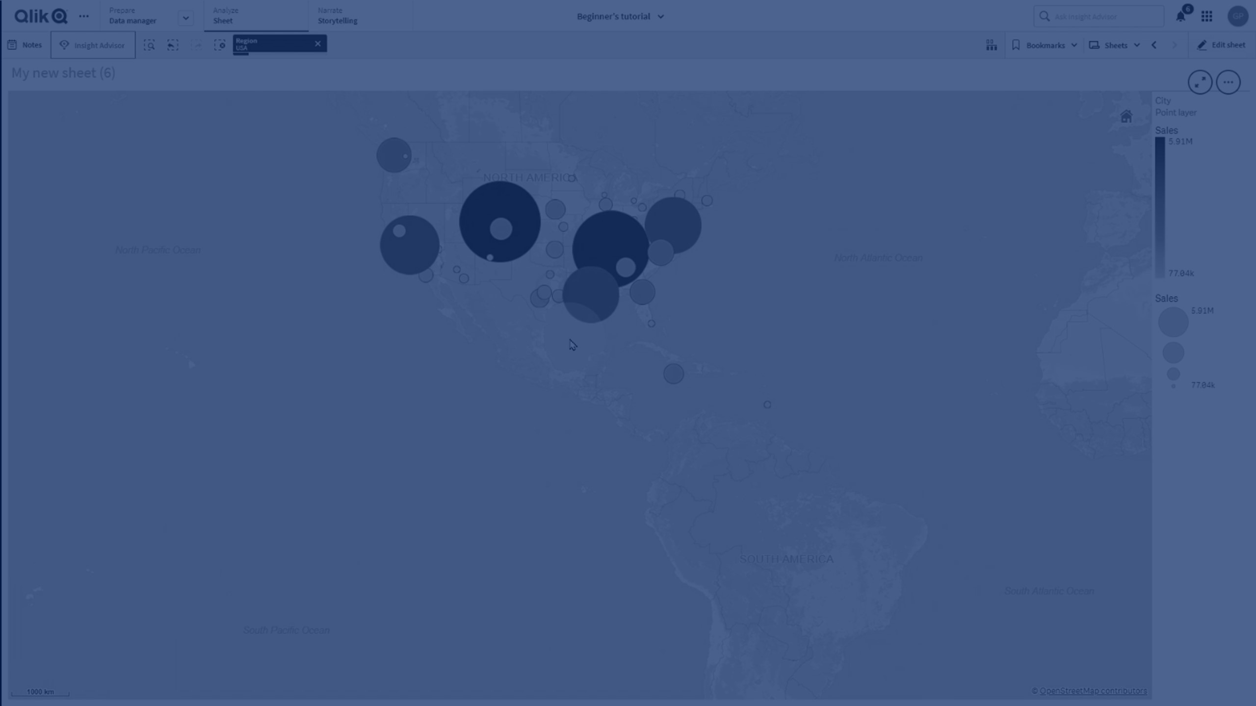
Drill-down layers
When creating a map that has multiple points of data located in a wide geographical area, you can use drill-down dimensions to display your layers in a selection hierarchy.

This enables you to use different layers at different levels within your map, ensuring only the most relevant information is being displayed.
As you make selections in a drill-down layer, the dimension used for locations changes to the next dimension in the drill-down dimension. The drill-down happens across layers that use the same drill-down dimension. If you have an area and point layer that use the same drill-down dimension, you can set which layer displays with which dimension from the drill-down dimension.
Drill-down dimensions used for drill-down layers should have the fields in order of highest geographical area to smallest geographical area.
For information on creating drill-down dimensions, see Creating a drill-down dimension.
Do the following:
- From Layers in the properties panel, click Add layer.
- Select Point layer, Area layer, Line layer, Density layer, or Chart layer.
- Click Dimensions, click Add and select your drill-down dimension.
- In your layer, click Options.
- Click Layer display.
- After Visible drill-down levels, select which dimensions to display in the layer.
