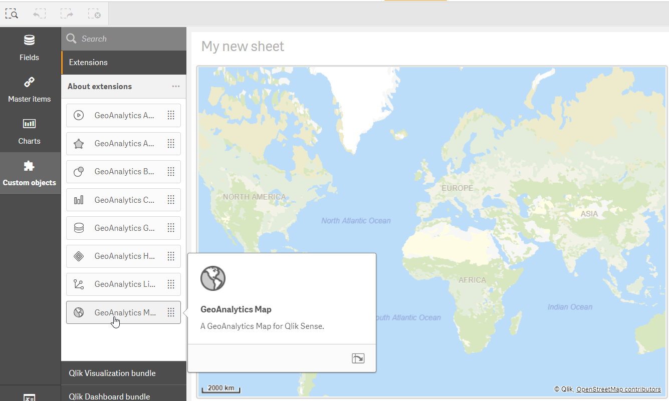
Getting started with Qlik GeoAnalytics for Qlik Sense
First, make sure Qlik GeoAnalytics is installed in Qlik Sense. Separate installation instructions are available for Qlik GeoAnalytics for Qlik Sense Desktop and Qlik Sense server.
After the installation, several Qlik GeoAnalytics extensions should be available in edit mode in Qlik Sense along with the default tables, pie charts and other elements from Qlik. The overall principle for Qlik GeoAnalytics for Qlik Sense is that the map and the various layers are separated in different components. The map and the data from Qlik Sense displays on the GeoAnalytics Map component, but the dimensions and measures are connected to the layer components. The layer components automatically connect to the map component and display the data on it. If there are multiple maps on the page, you need to specify which one the layer belongs to.
The Qlik GeoAnalytics for Qlik Sense map settings

