
Maps can be used for a wide variety of purposes. A common use in business intelligence is to plot sales data per region or per store.
You can create a map by using either a point layer or an area layer. A point layer map is typically used to mark places of interest, such as airports or office locations, using longitude and latitude coordinates, while an area map can be used to display geographical areas, such as countries. If you use a point layer, you also need a background map to provide the context for the points, otherwise you will only have a collection of points on an empty background. By default, a Mapbox background map is added to a point layer. If you want to, you can use a map from a different provider.
See: Loading map data
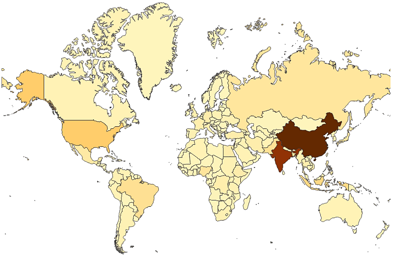
You can add a measure value or an expression to the dimension values, and use the size of the points or color by measure to reflect the size of the measure. If you use an area layer, you often do not need a background map, but there is support for complementing an area layer with a background.
The background map is of the type “slippy map” in which you can zoom, pan around, and make selections.
http://wiki.openstreetmap.org/wiki/Slippy_Map
Number of dimensions and measures
You can only use a single dimension type: point or area. You can create an expression in the dimension. If you add a measure from the master items to the map, the measure is added in the expression box under Data > Layers > <layer type> in the properties panel.
Zooming and panning
A map has options for zooming and panning, which work differently depending on the type of device you are using. The interaction differs depending on what device you are using.
When you re-size your browser window, the map scales accordingly.
Touch device interaction
On a touch device, you pinch apart to zoom and swipe to pan.
You can reset the zoom by tapping , which appears in the top-right corner when you start zooming.
Computer (mouse) interaction
With a computer, you use the mouse to zoom and pan in the visualization. Use the scroll wheel to zoom in and out. You pan by dragging.
You can also use the navigation tool for zooming and panning. Right-click in the map and select Navigation to open the tool.
You reset the zoom by clicking the scroll wheel or by clicking in the navigation tool.